As this weird year is coming to its end, I find myself in a confined region with over 20 days of holidays (that I need to take before the end of January) and nowhere to go. So I have been taking the odd day off, depending on the weather forecast. I treat my holidays the same way the French go on strike, no point if the weather’s foul. I was a bit sceptical when I was heading out of town on the day of this particular hike, as Madrid was covered under thick fog, but I worried needlessly. By the time I reached Collado Villalba, there was a sea of clouds at my feet and a spotless sky above me.

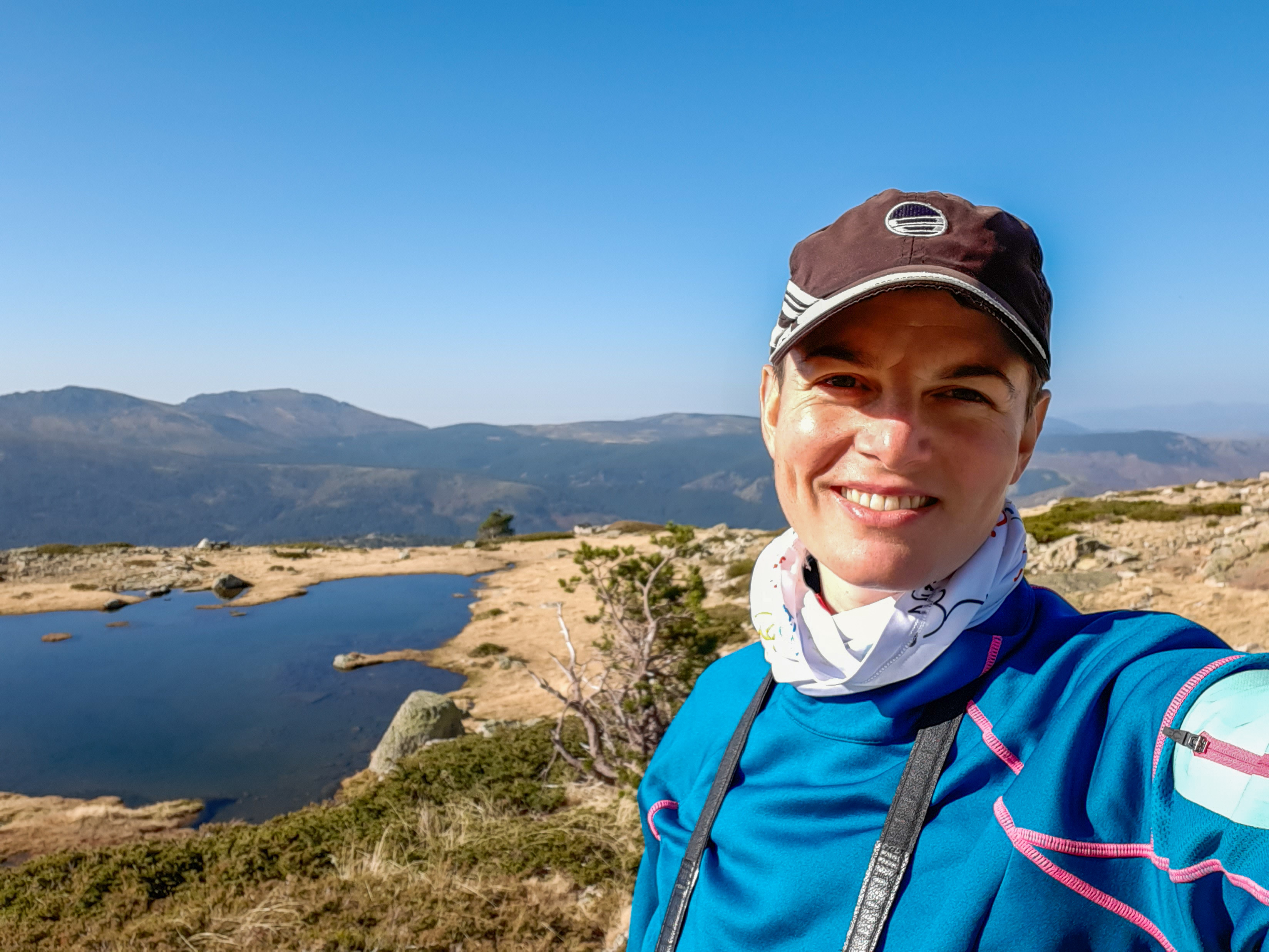
I know I come across as a sociable and reasonably nice person. Sometimes, when I’m in the mood. Which seems to happen less and less as grow older. With the years I learned to enjoy my own company and value my moments of solitude. I could go full Paolo Coelho now and tell you everything about how solitude is a physical state, while loneliness is a state of mind and how the two terms are not freely interchangeable, or something similarly deep. Truth is, sometimes people just piss me off, simple as that. And then I seek solace in nature. ALONE. About a week ago I posted some of these pictures on a hiking group and got about a million messages of: “is there a group going we could add ourselves to?” (no) or “do you want company on your next hike?” (hell, no!). Listen, I am happy to answer sensible questions and provide clarifications about the hikes I’ve done. Same goes for this blog, ask away. But I am not providing a paid service and I have no interest in impersonating a teacher on a school trip every Sunday. I can tell you where I went and how I got there. That’s it. Feel free to do the same. It’s Sierra de Guadarrama, not exactly Himalaya. If you want a guide, hire one. Rant over.

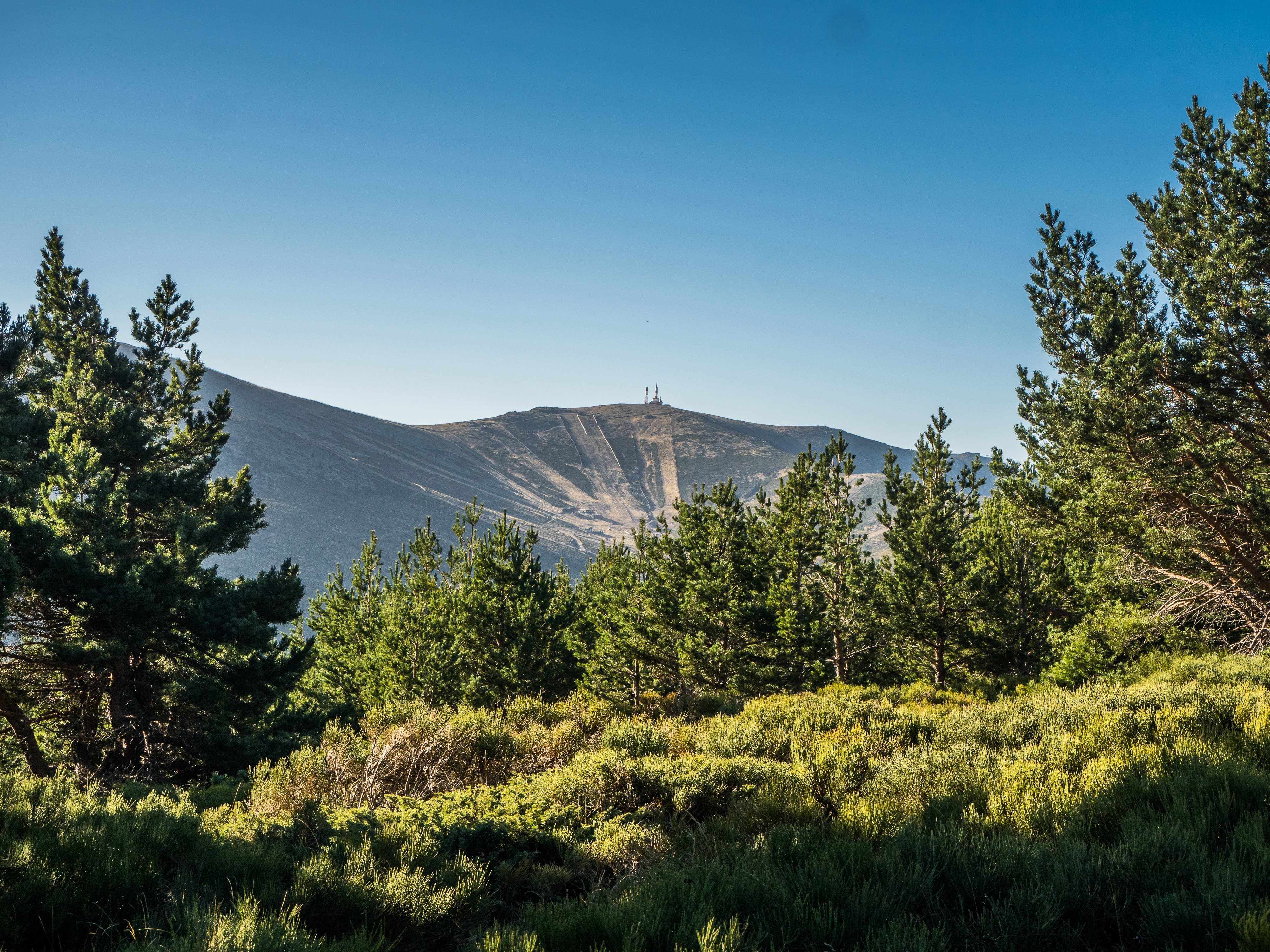


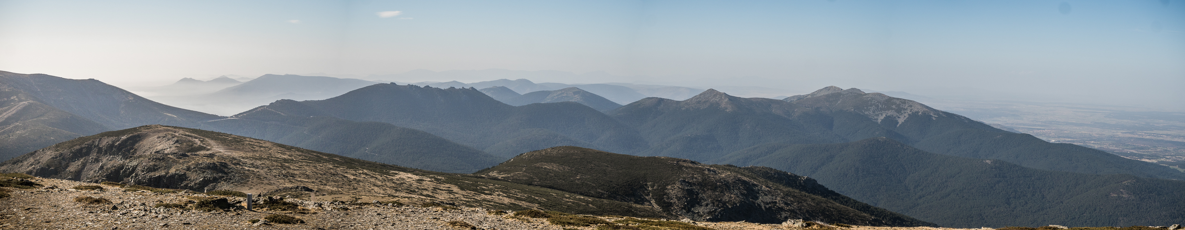


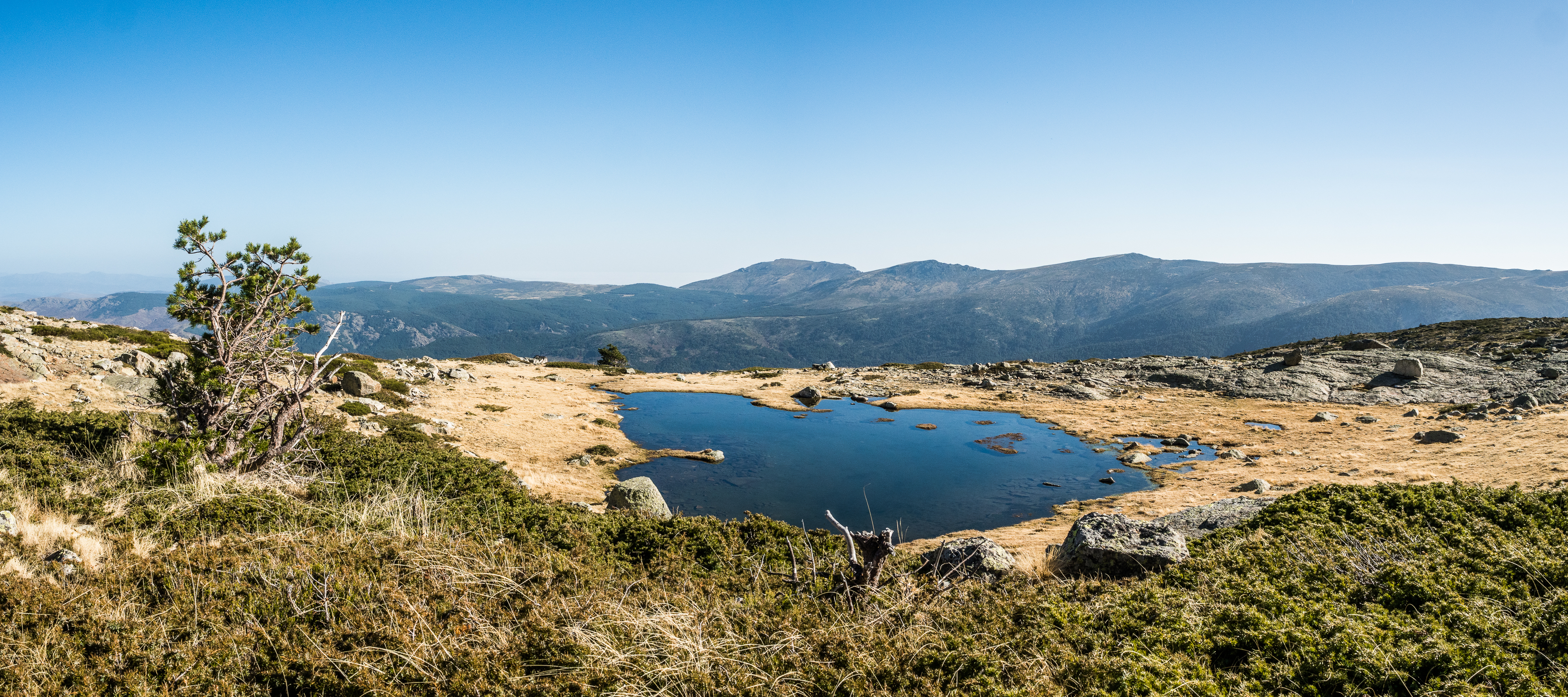
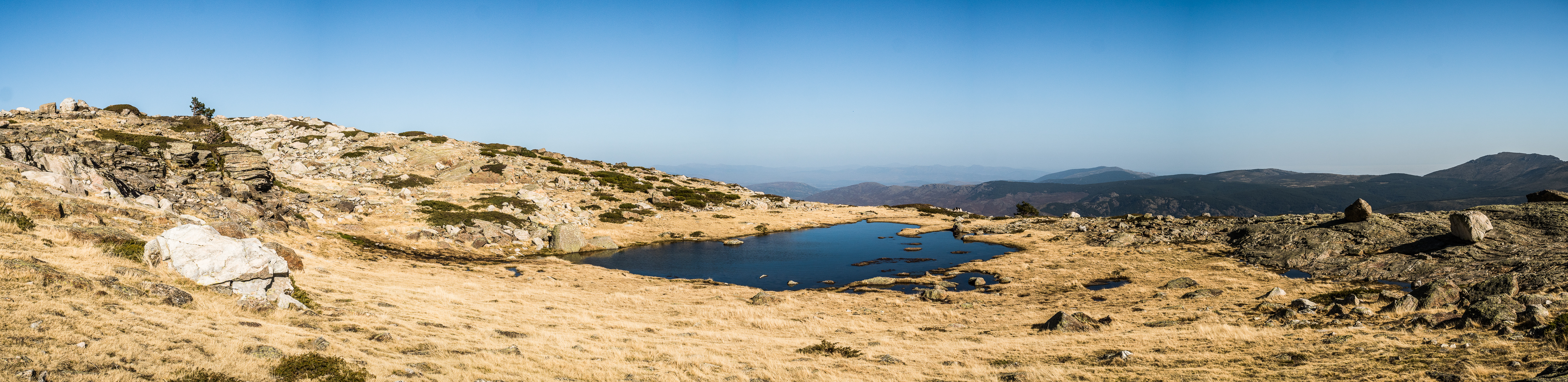
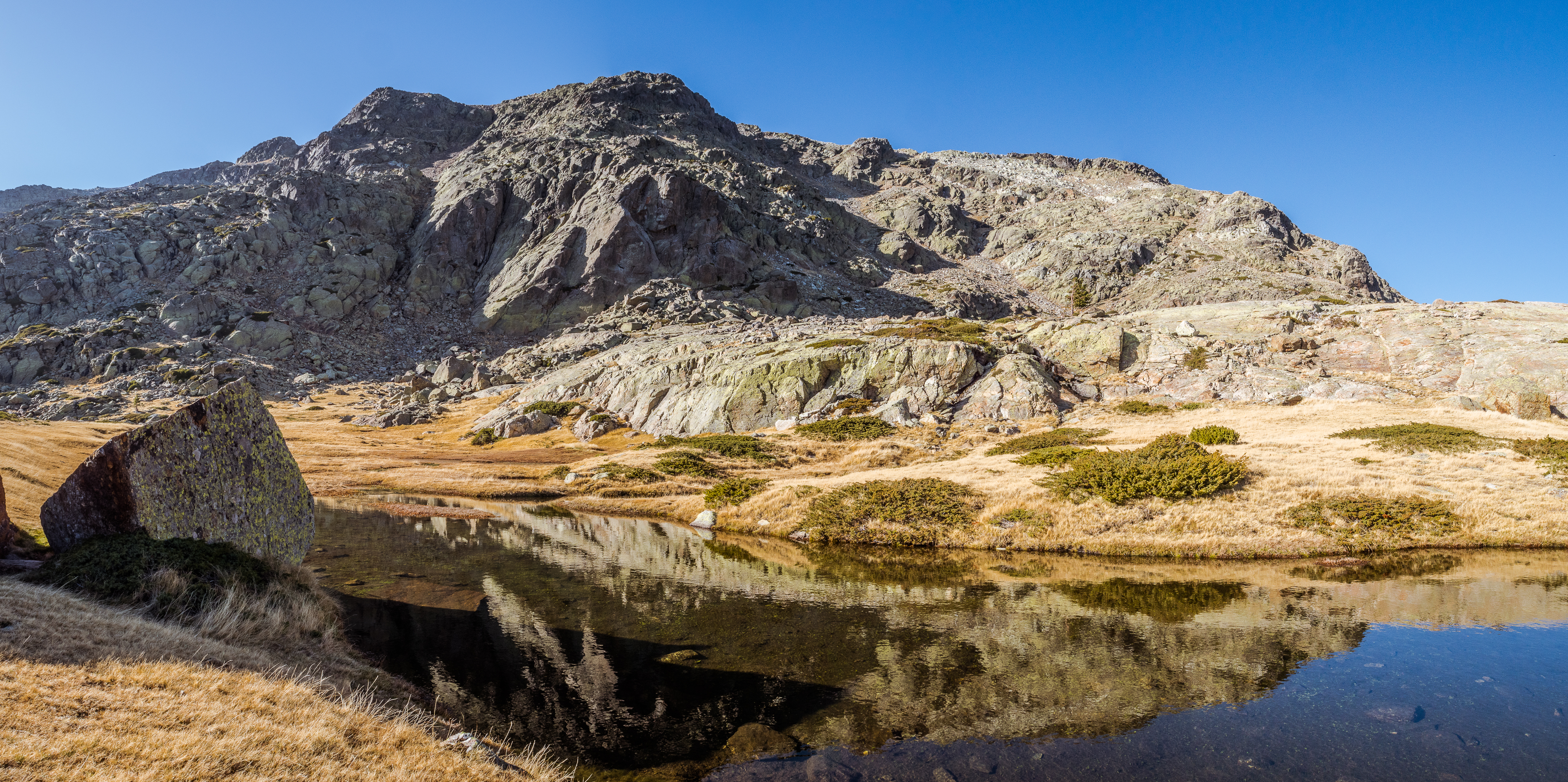
Peñalara Natural Reserve (full name: Parque Natural de la Cumbre, Circo y Lagunas de Peñalara) – a small natural park within the national park of Sierra de Guadarrama, that consists of Peñalara (the highest peak of the Guadarrama mountain range), few other peaks and cliffs and several glacial lakes. I hiked the entire loop: Cotos (1830 m) – Hermana Menor (2271 m) – Hermana Mayor (2285 m) – Peñalara (2428 m) – Risco de los Claveles (2388 m) – Risco de Pajaros (2334 m) – Laguna de los Pajaros and back to Cotos.
Starting point: Visitors Centre of the National Park Sierra de Guadarrama at Puerto de Cotos.
How to get there: drive to Puerto de Cotos and park there – be sure to arrive early in summer and on the weekends, as hiking in Peñalara is extremely popular and only limited capacity of hikers is admitted to the natural reserve. If you are driving from Madrid, there are signs along the road that indicate when the parking is full (normally before 8 am in high season). If you arrive by public transport, take the bus no 691 from Moncloa to Valdesquí (again, take an early one, the ride take more than an hour). Be careful when planning the return, because most buses back to Madrid start in Navacerrada, only 4 or 5 a day start from Cotos (Valdesquí) – consult the information at the bus stop. Worst case scenario, someone will give you a lift to the village, should you miss the last bus. The rangers, probably.
Length and climb: 13 km, about 700 m accumulated climb.
Difficulty: low. If you hike the loop anticlockwise and/or if you walk the crest between Peñalara and Claveles (more details further on), possibly moderate at times


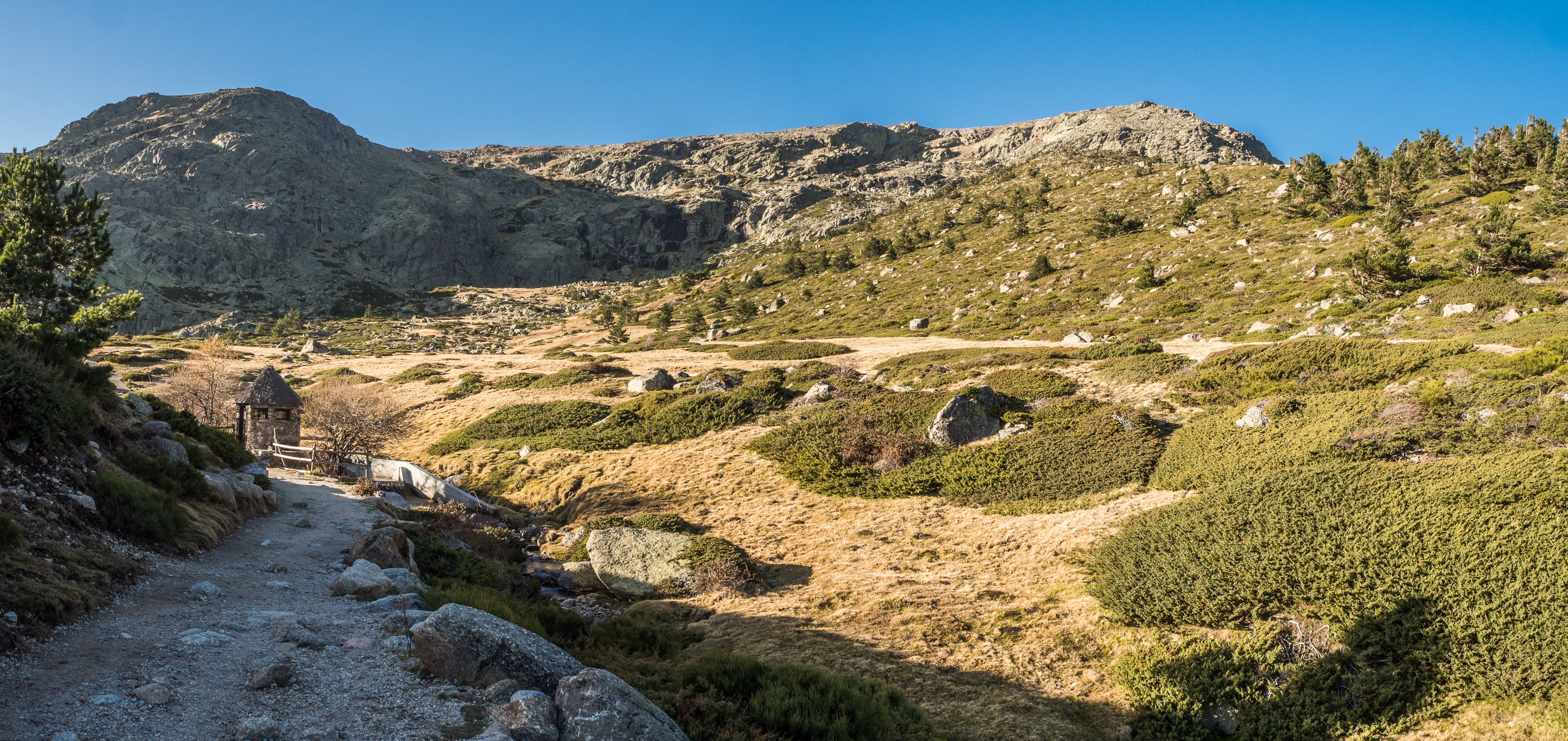
Description: I took the 8.30 am bus from Moncloa and arrived to Cotos just before 10 am. It was a spectacular day. The hike is very well signposted, you really need to put in some effort if you plan on getting lost. Take the wide trail from the visitors centre (I asked if I needed to register my presence and they said it was not necessary, but I assume it may be on a busy day). After about 20 minutes you’ll arrive to a point where the trail divides. Here you have an option to walk directly to the Laguna Grande de Peñalara glacial lake, if you want an easier or a children-friendly walk. If you need to get your children tired, proceed to the peak. The trail gently zigzags on the slope of Hermana Menor, which you will reach in about 45 minutes. On the way you’ll cross a turnoff to the refuge Zabala, built in 1927 and these days only partly open to general public. It is intended as a temporary refuge from elements, should the weather change unexpectedly, but isn’t suitable for staying overnight. Only two people (hardly) squeeze in, and we are talking about your average Spaniard. Two fully grown standard size adults will spend a fairly uncomfortable night. You can bivouac outside though (with the right equipment).


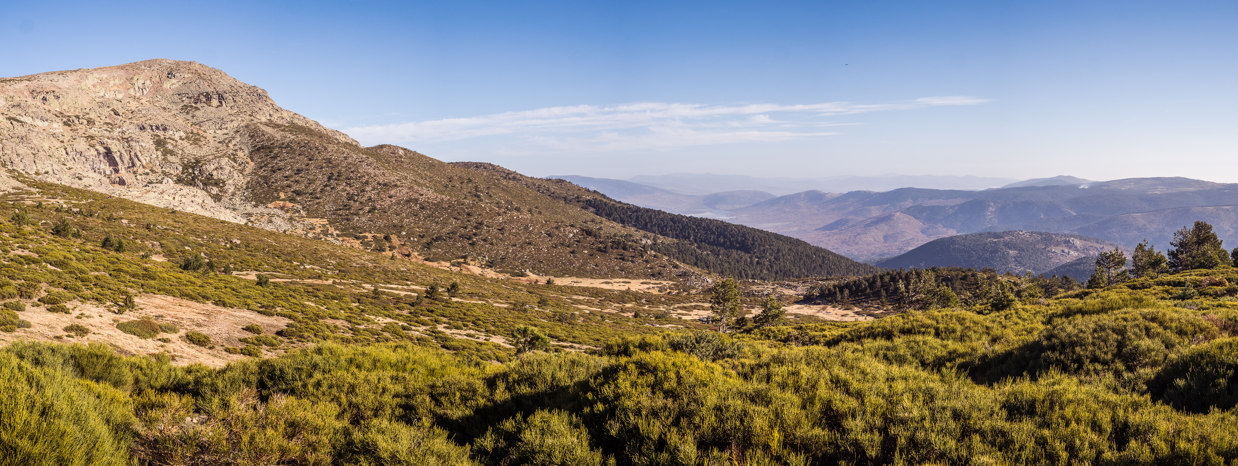
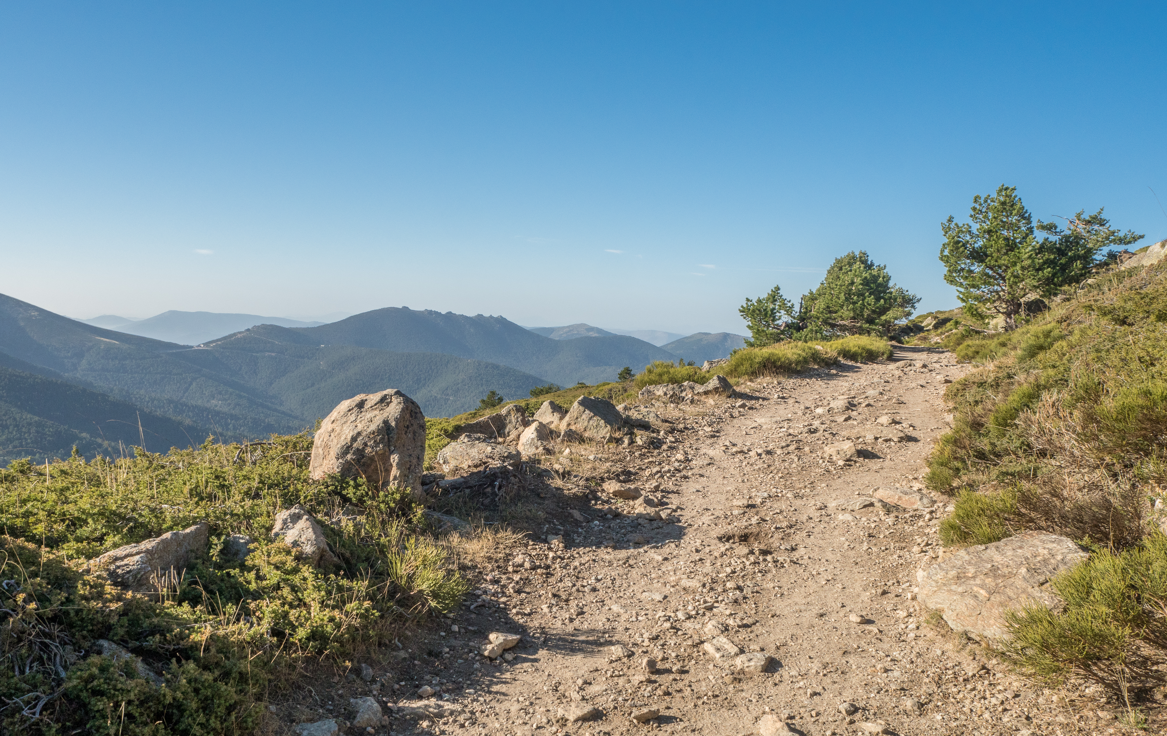
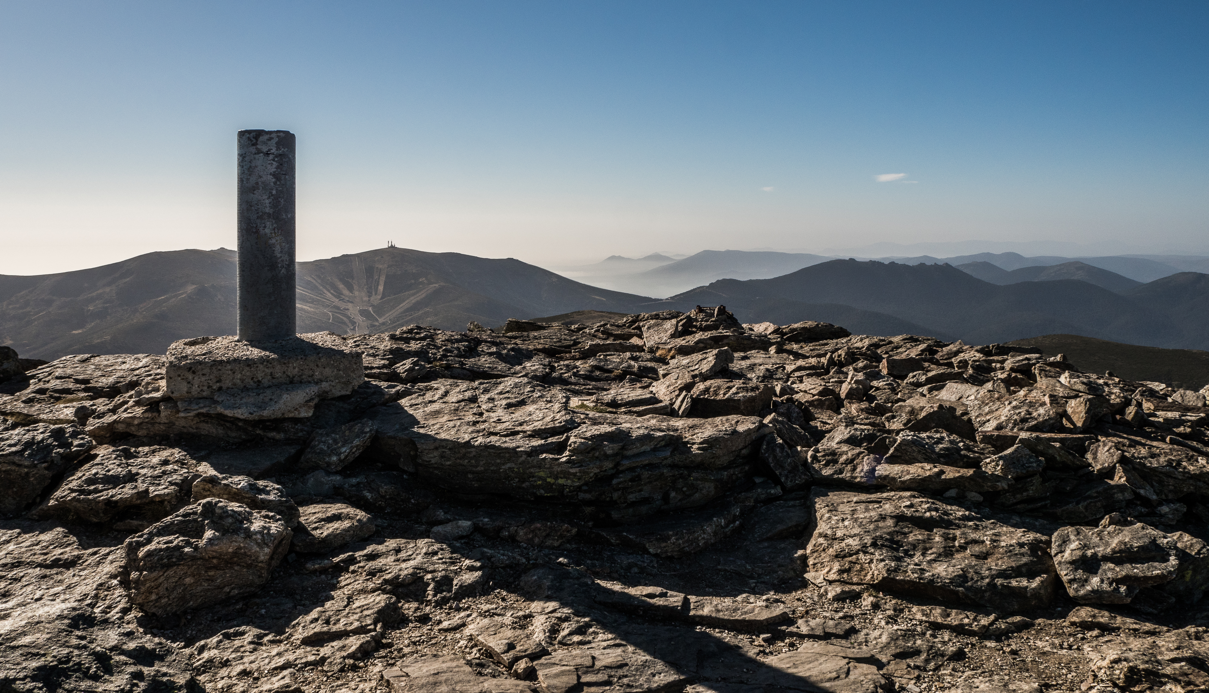
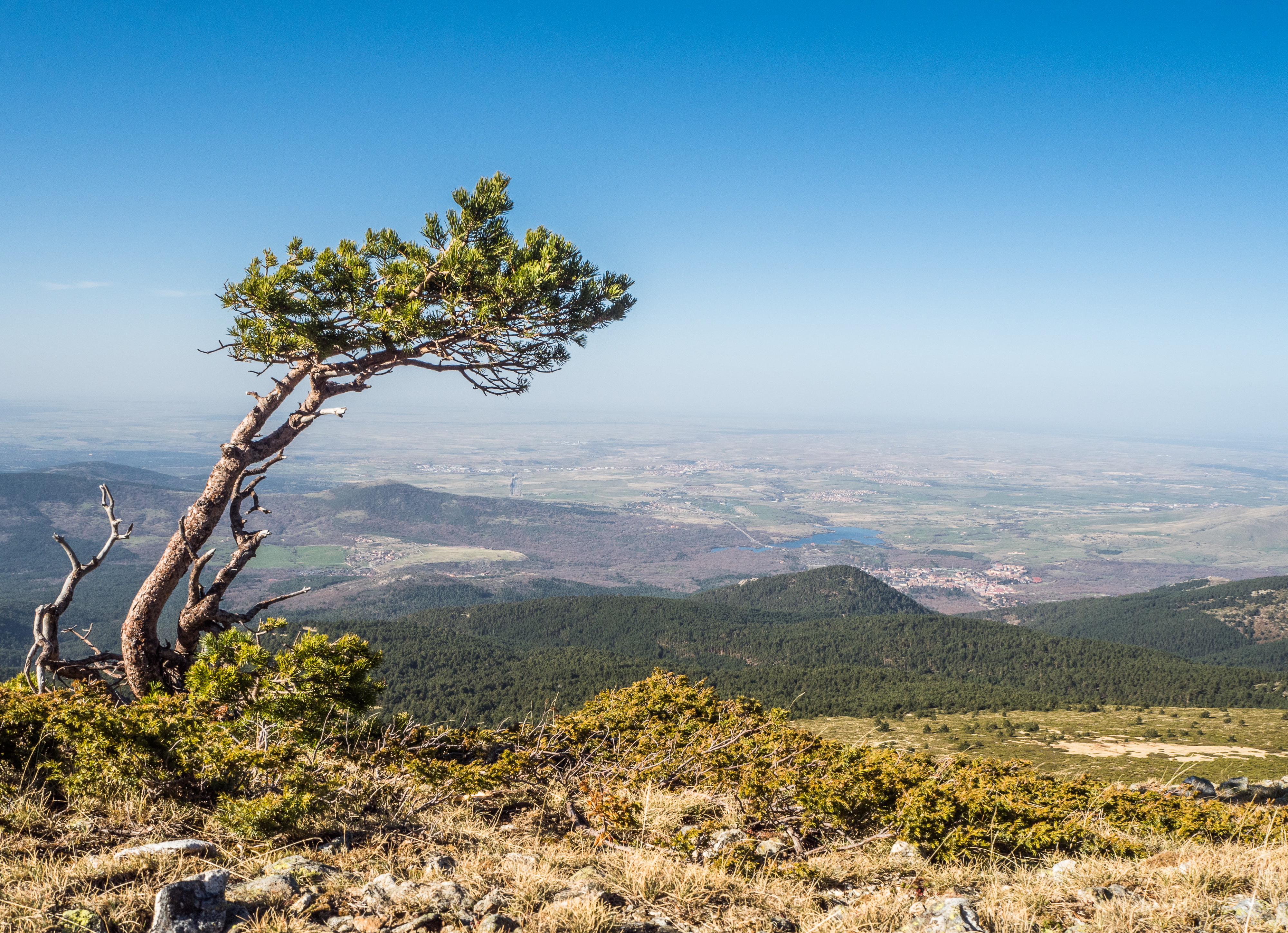
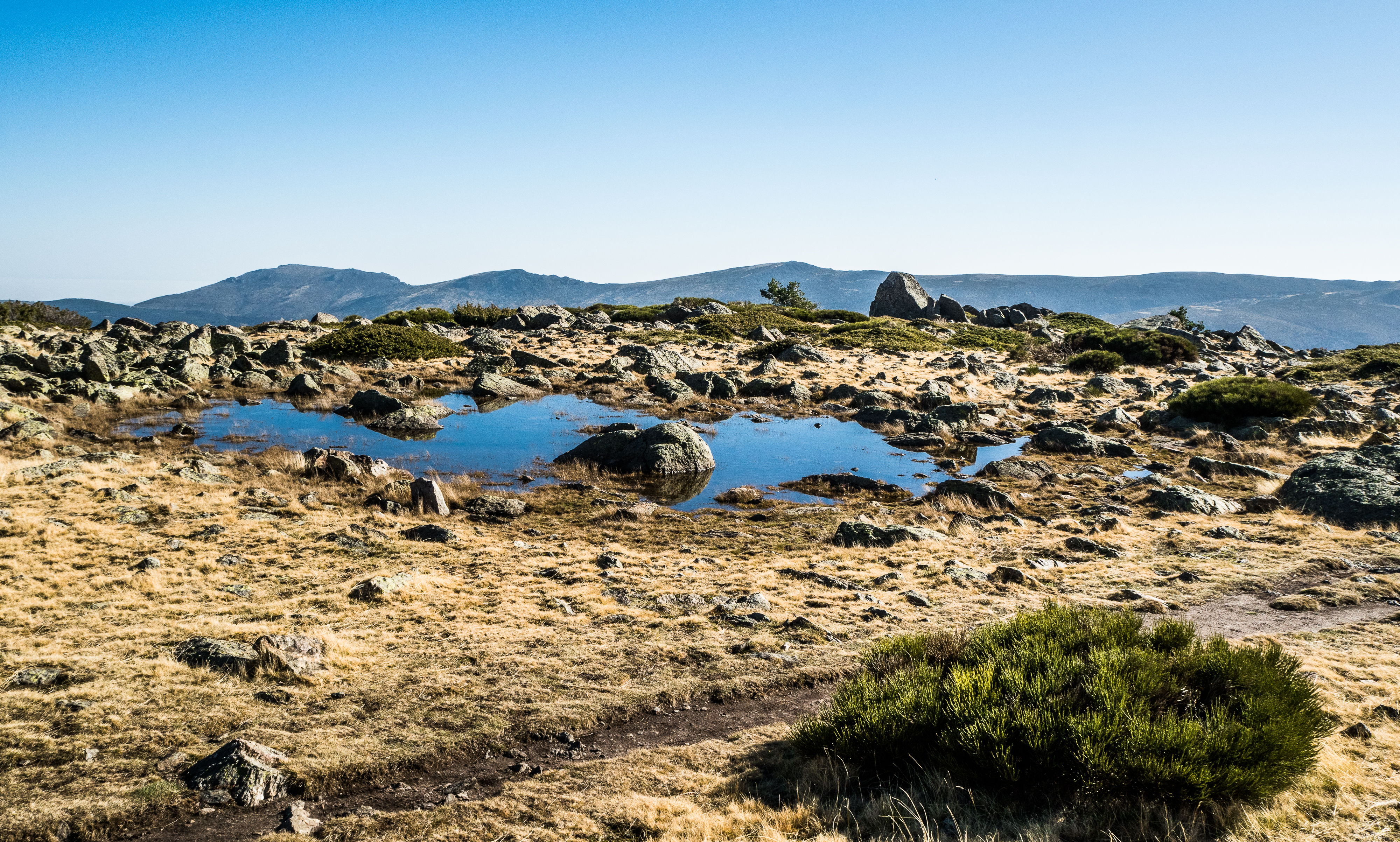
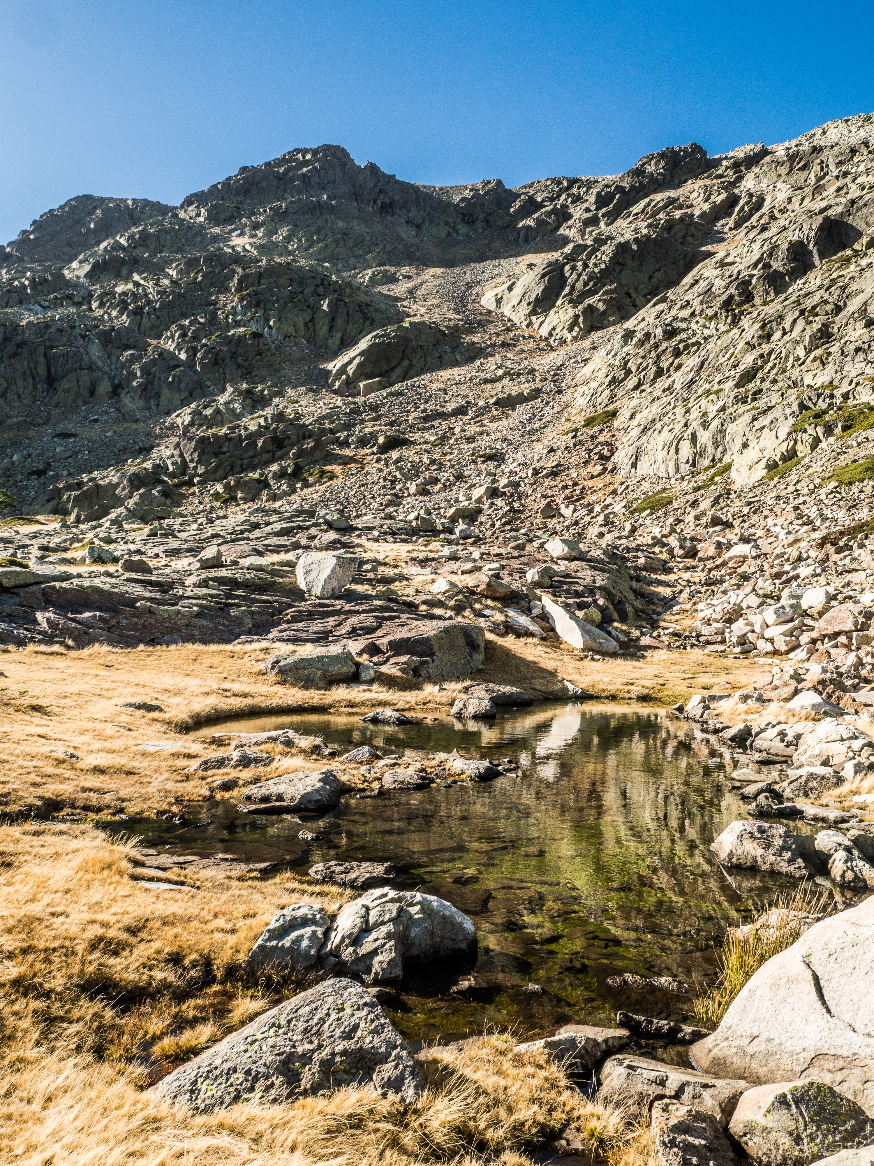
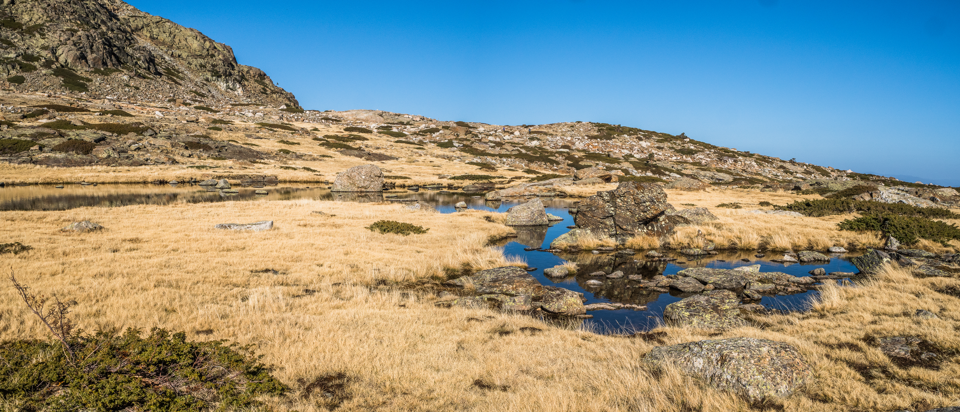
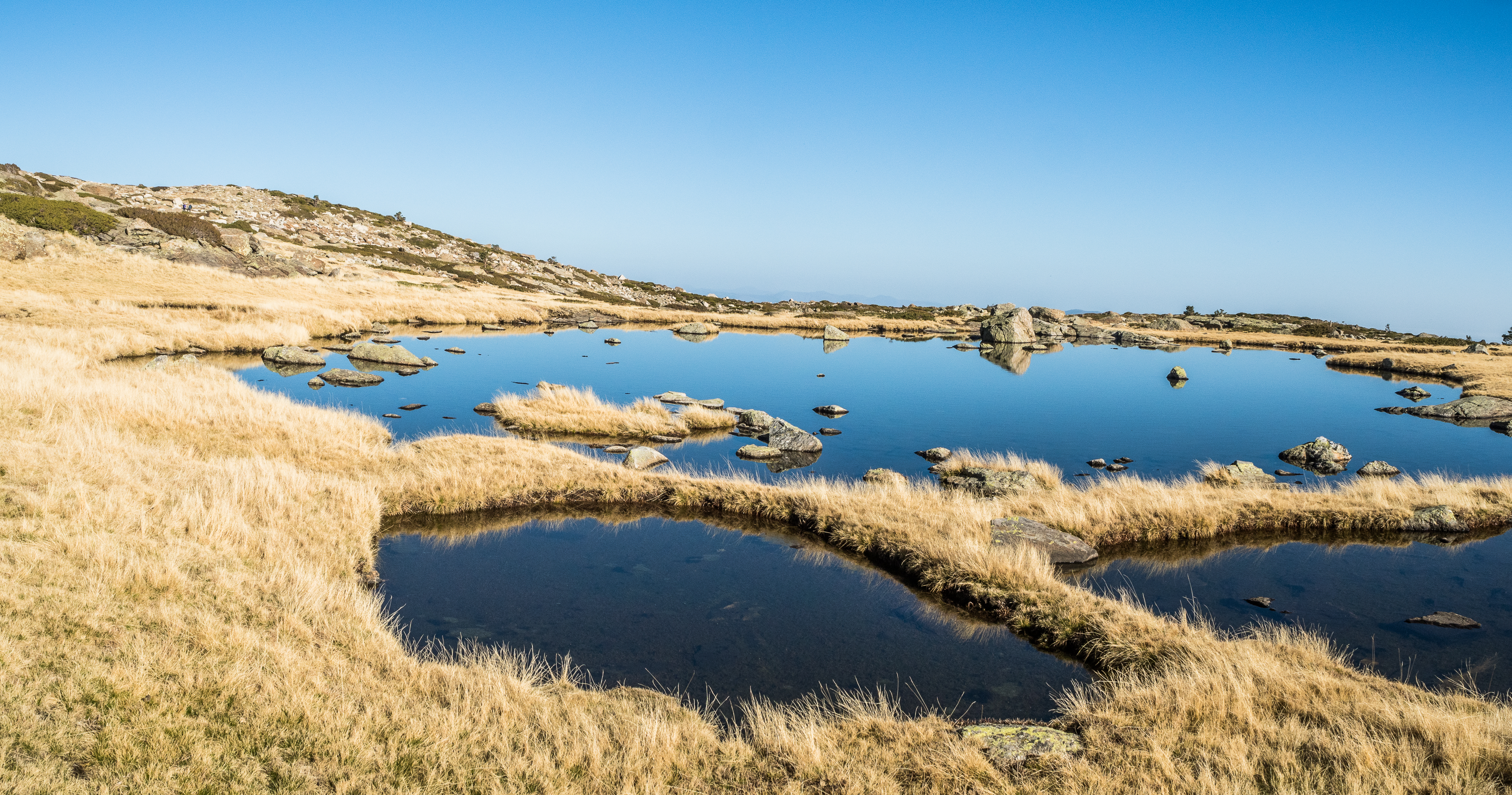
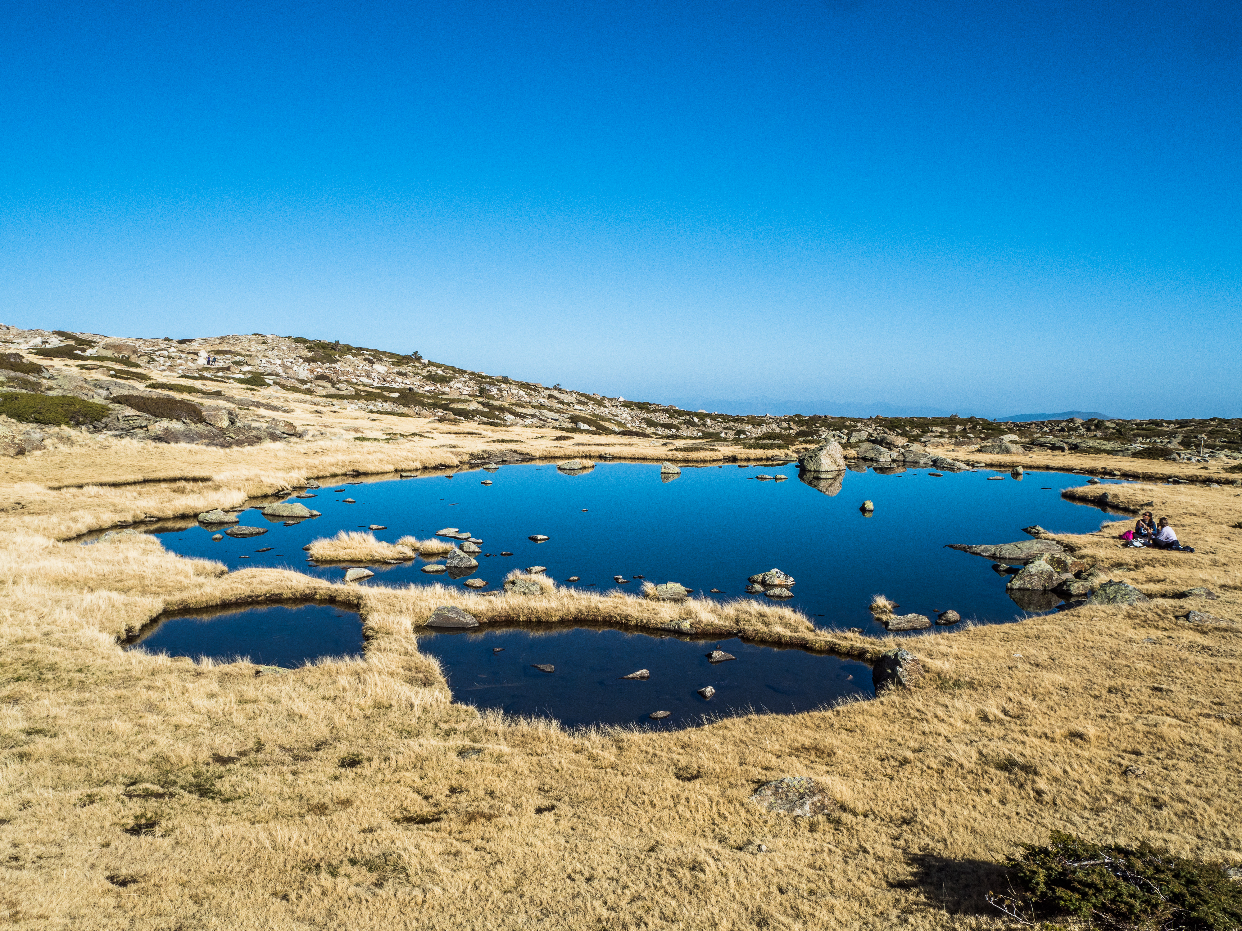
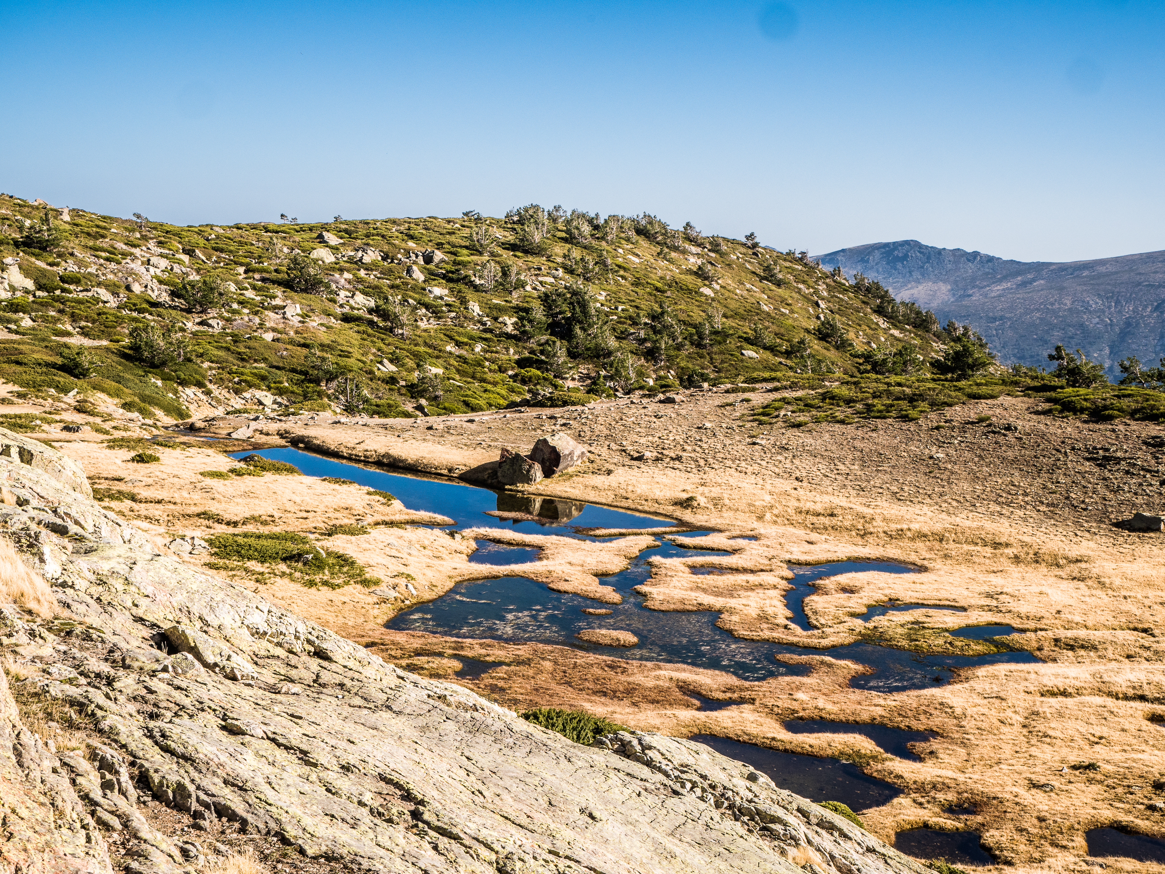
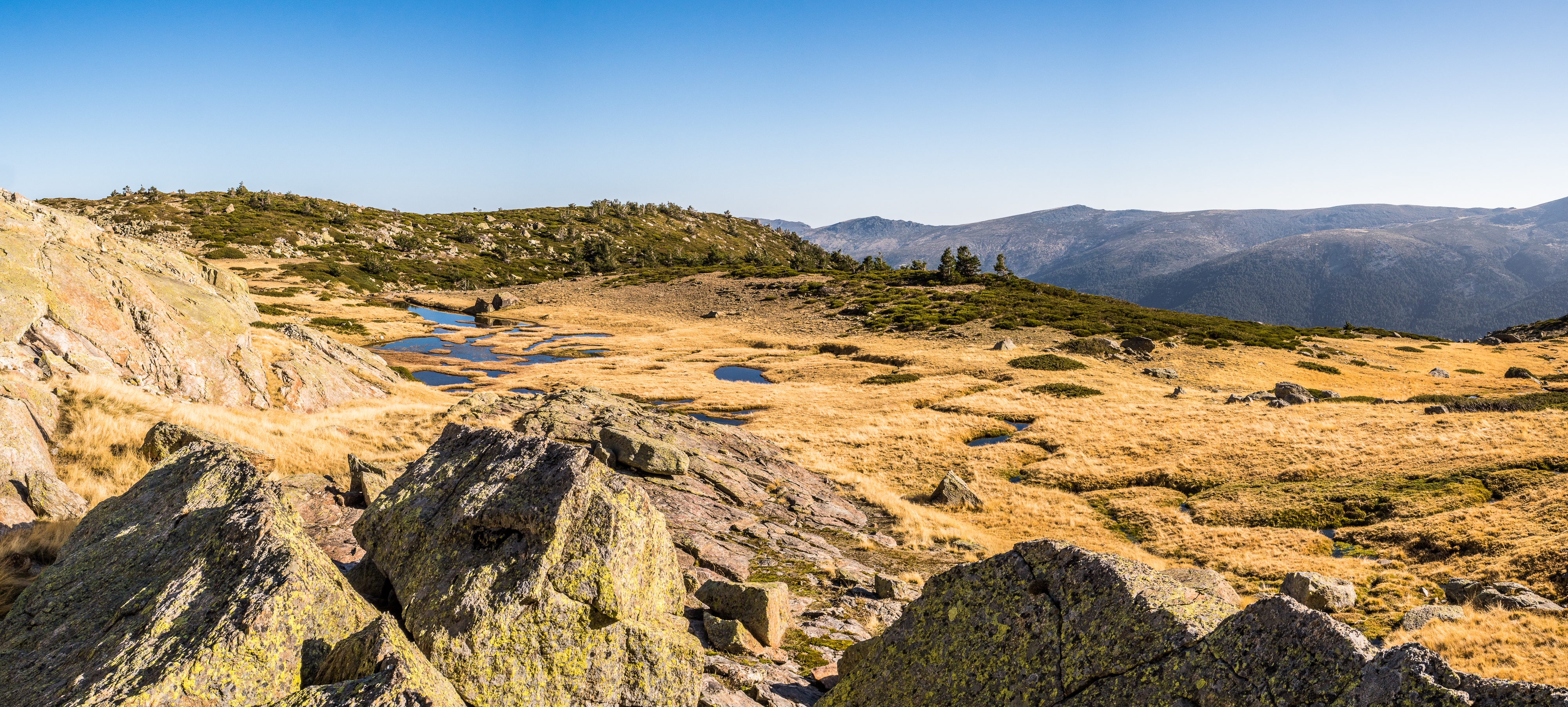
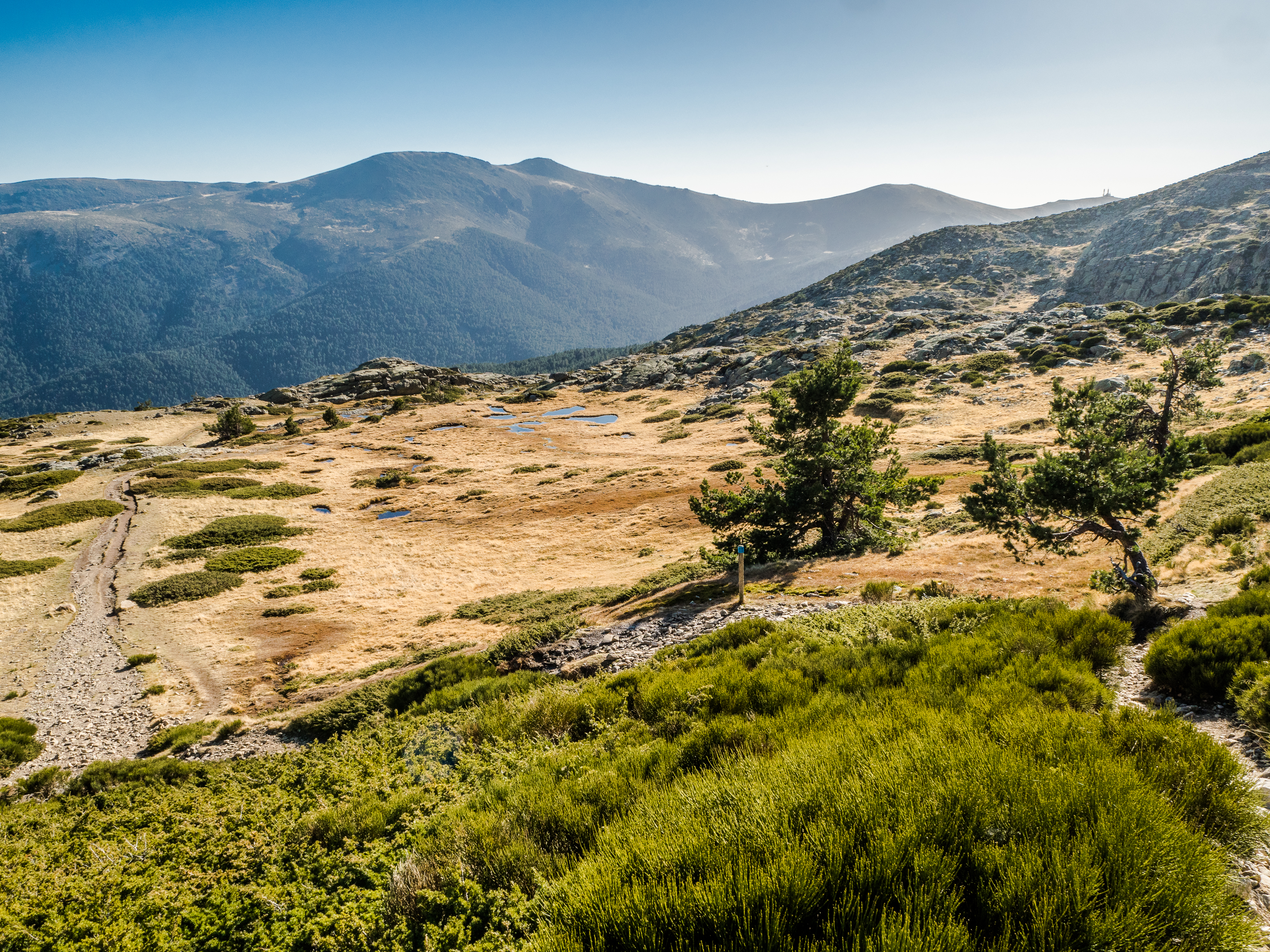
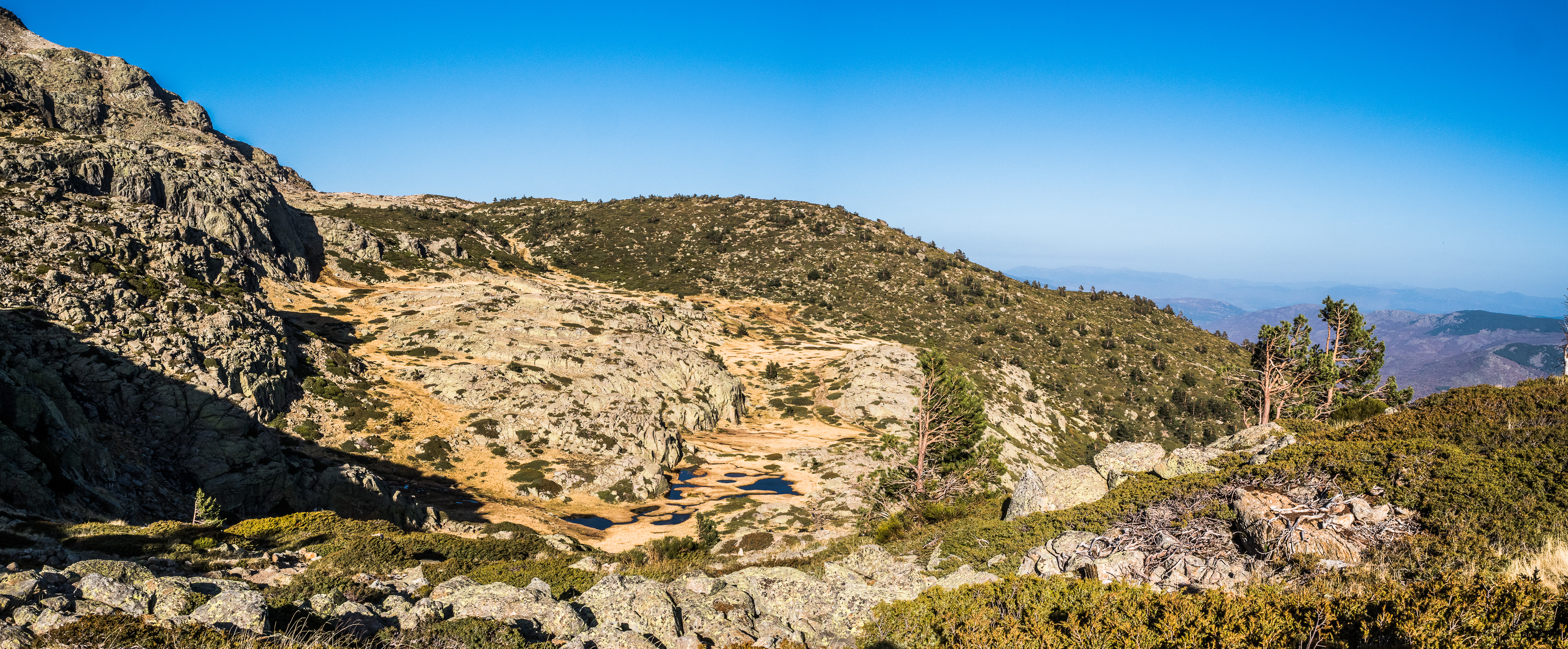
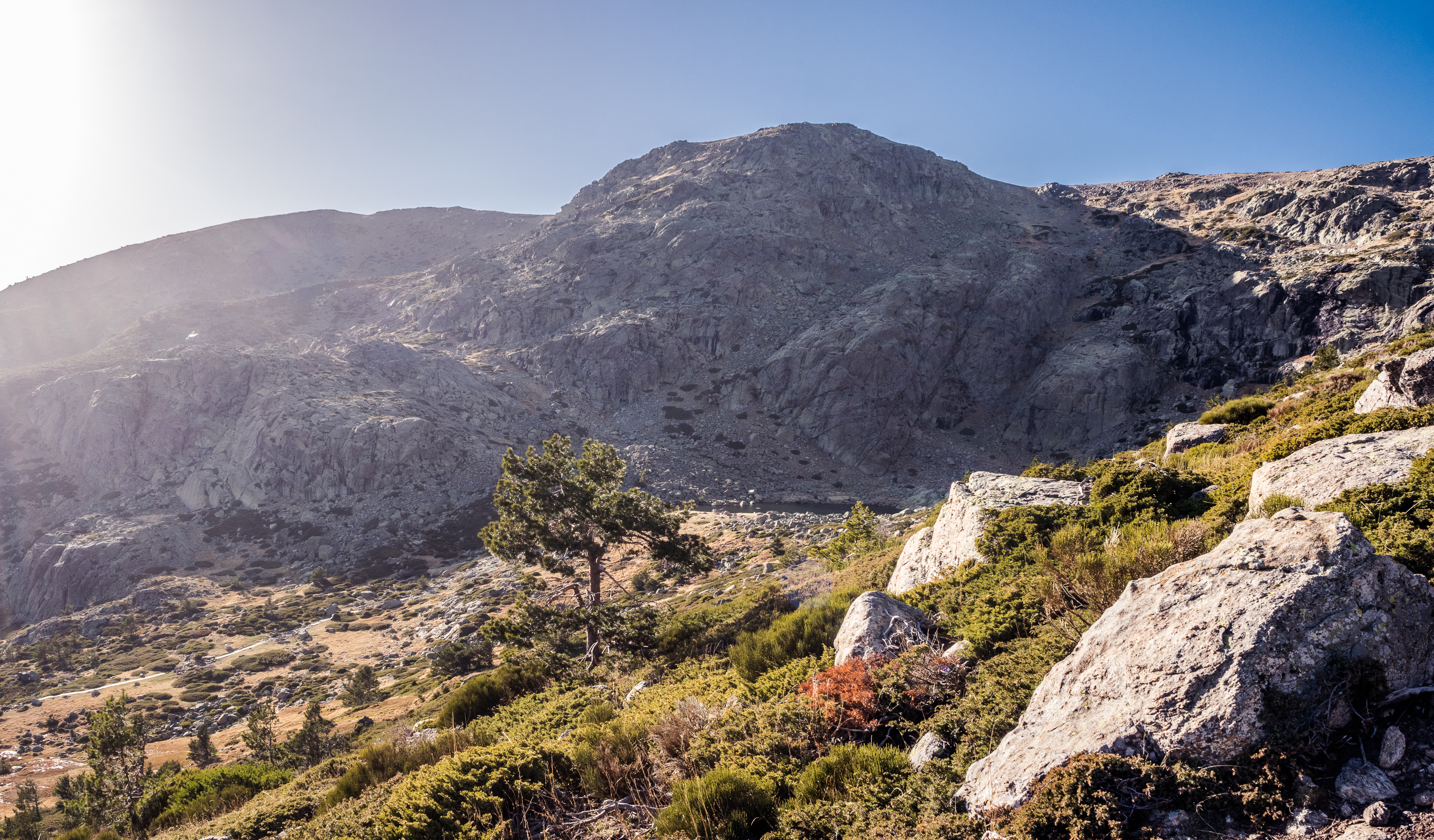
From the pass between the Two Sisters (Hermana Menor and Hermana Mayor) you’ll enjoy the first beautiful views over the plains of Castilla y León, with Segovia below you, its majestic cathedral tower perfectly visible in the distance. This part of the hike is exposed to the winds, so unless you are hiking in July, bring some additional clothes (which you should do anyway, even in summer). The Peak of Peñalara is just in front of you and you will reach it in another roughly 30 minutes of comfortable ascend. That is all the climbing done. Now comes the only tricky part. You can continue the loop on the ridge towards Pico de los Claveles. It is a rocky crest where you will need to get on all four. Do not attempt this part if it’s wet, slippery, with low visibility or if you suffer from vertigo (the crest is narrow and there is a void on either side). You can take an alternative trail to the left of the ridge. Do it if you don’t feel confident. You’ll start seeing the Laguna de los Pajaros glacial lake at this point. By the time you descend to it, you’ll be shielded from the wind. This is probably not an issue normally, but it was freezing cold on the crest in mid-November, but I was in short sleeves as soon as I got below the ridge. From here the trail is fairly flat and takes you through alpine meadows and around a dozen glacial lakes. The views are stunning. You may even see some mountain goats, but they are not as cheeky as the ones in La Pedriza (which is a good thing). After another hour, maybe 90 minutes (I took my time taking photos), the trail joins the main path that leads from the visitors centre to Laguna Grande de Peñalara. In another 20 minutes, you are back to the parking at Cotos.


I would have been comfortably back for the 4.30 pm bus back to Madrid (with plenty of time for a post-hike regenerating drink at the bar at Puerto de Cotos), but I bumped into a group of 4 really nice men in their late 60s towards the end of the hike, and we started chatting (I know the principal reason for the hike was to socially distance from other people, but I am only antisocial, not rude). They were super sweet, asking if I was on my own, if I had enough food, most importantly, if I was in Spain in Erasmus (note to men: flattery will get you everywhere), and given they made me miss the bus, they offered a lift to Madrid.
Considering the views and the landscape, the Peñalara circuit has possibly been the prettiest hike I’ve done around Madrid. Wikiloc for your convenience here.